





DOWNLOAD IS NOT SUPPORTED IN WEB STORE!
Use the latest version of 9Apps to download APK&OBB file of games in one click!
DOWNLOAD 9APPS
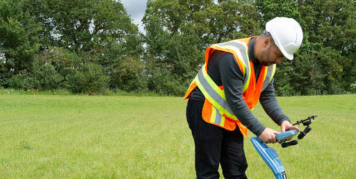
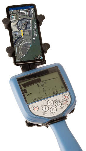
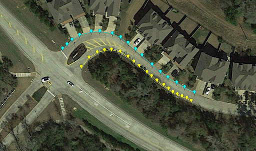
RD Map is the Map&Share app which gathers survey measurements automatically to create maps of buried utility maps in real time*.
Designed to work with all of Radiodetection’s current Bluetooth Precision locators (all RD7100 RF marker and all RD8100 models) this simple to use app enables the creation of detailed maps of the utility being located:
Every time a survey measurement is taken using a paired locator, it is automatically added to a Google Maps map. Utility paths and icons are color coded, using standard utility colors, compliant with American Public Works Association
RD Map is powered by Google Maps mapping technology, allowing common gestures to change map type, pan, rotate or zoom the map. Distance measure and radius tools provide an easy way to validate the accuracy of the measurements’ position and enables manual correction of any position offset.
Utility maps can be shared as kml or csv files, using any compatible application.
Access to Support, FAQs, Operation Manuals, How To videos and much more is available on the Radiodetection Support Portal:
support.radiodetection.com.
* Requires Android 5.1 or higher, data connectivity and Google Maps