











DOWNLOAD IS NOT SUPPORTED IN WEB STORE!
Use the latest version of 9Apps to download APK&OBB file of games in one click!
DOWNLOAD 9APPS
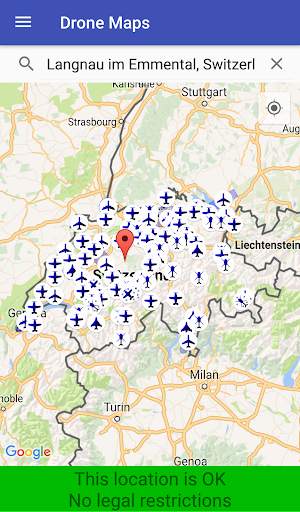
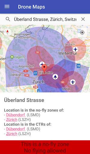
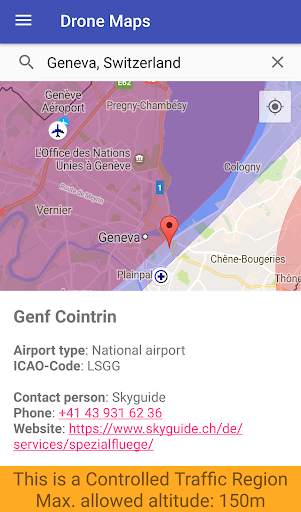
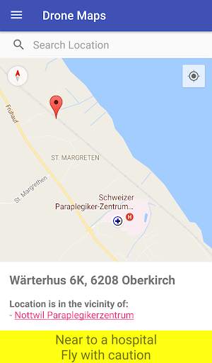
Pilots of drones and model airplanes can use Swiss Drone Maps to catch up on where they are allowed to fly. No-fly zones and controlled traffic regions are specifically coloured on the map and therefore easily visible. Airports and heliports are clearly visible thanks to intuitive markers on the map.
At higher zoom levels, the map shows relevant additional information such as hospital and mountain airfields. The selection of a site marker shows not only information about the area but also the phone number and website of the airport. This contact data allows for spontaneous and easy applications for special flight permits.
The app also informs about the current Swiss legal situation for remotely piloted aircraft systems (RPAS).
For the future, e.g. the following additional features are planned:
- Apply for Skyguide flight permissions for drones and model airplanes directly within the app.
- NOTAM and DABS: Current changes in Swiss airspace relevant for drones and model airplanes
We cannot guarantee correctness to 100% and refuse any accountability.


