









DOWNLOAD IS NOT SUPPORTED IN WEB STORE!
Use the latest version of 9Apps to download APK&OBB file of games in one click!
DOWNLOAD 9APPS
What is Smartarea?
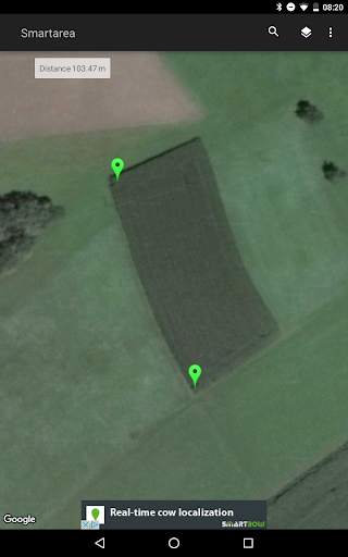
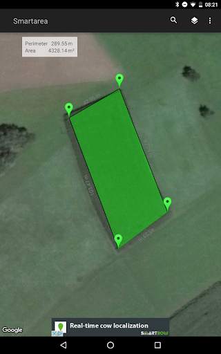
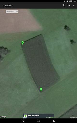
With Smartarea you can measure areas and distances on the quick.
It’s the perfect tool for your field work, construction, calculation of roof areas, sports and a lot more.
How does Smartarea work?
Smartarea is using your mobile phone’s GPS signal for all calculations. After the installation you can immediately measure for instance your property.
Functions of Smartarea:
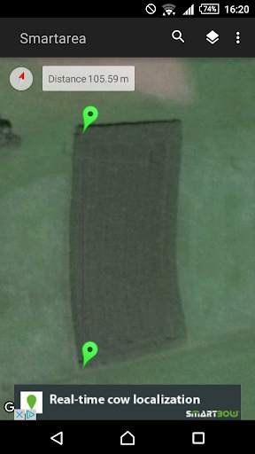
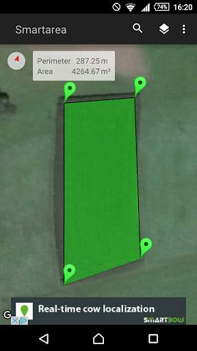
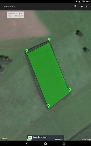
Measurement of areas and distances via Google Maps
You can set, adapt and delete measurement points by touching the display
You can search for your current position via GPS or network and add your location as a measurement point
The view scales and centers automatically
You can choose between different measurement units
Possibility to change between map- and satellite view
Export your measured areas into Google Earth or Google Maps (KML-file)
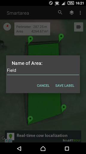
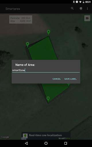
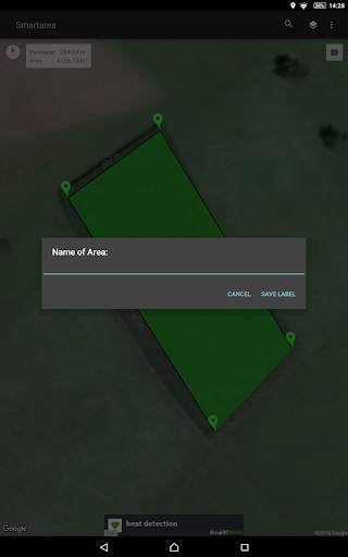
Name your areas and send your data as image (.png) or KML-file via e-mail


Bugfixes and performance improvements


