










DOWNLOAD IS NOT SUPPORTED IN WEB STORE!
Use the latest version of 9Apps to download APK&OBB file of games in one click!
DOWNLOAD 9APPS
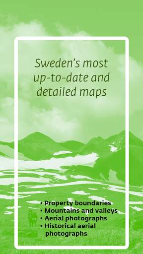
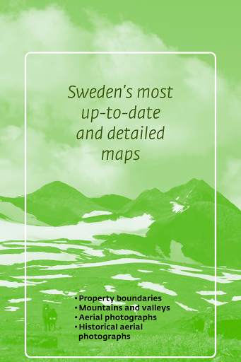
Lantmäteriet, the Swedish mapping, cadastral and land registration authority, offers Swedens most detailed and up to date maps. Maps which are updated daily and show synoptic property boundaries, current as well as historic aerial photos and a lot more...
Features:
- A topographic map of Sweden consisting of our most updated online version
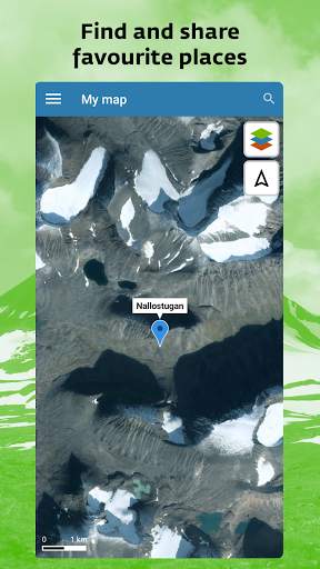
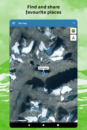
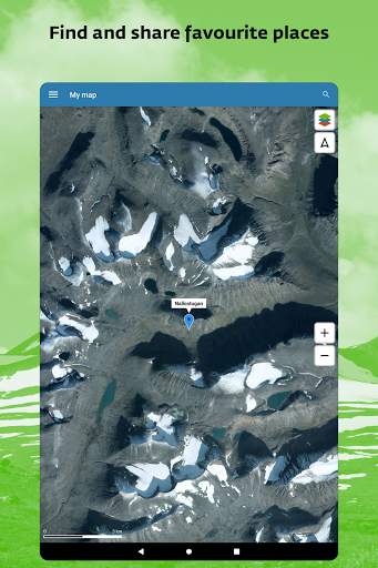
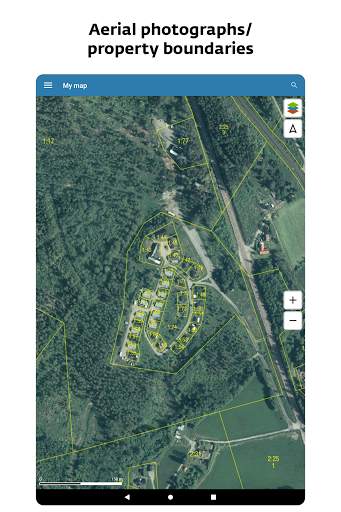
- A map consisting of geometrically corrected aerial photos (orthophotos)
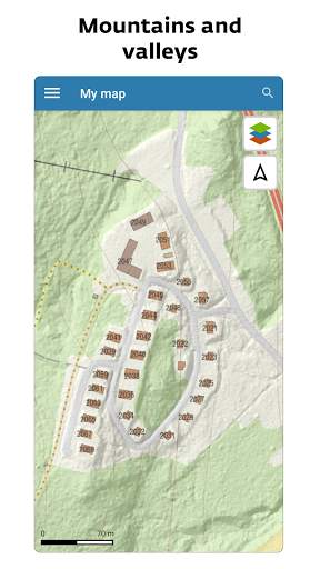
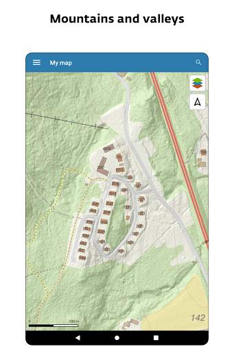
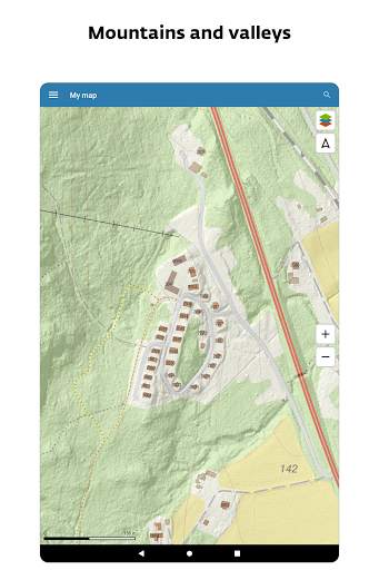
- A hybrid map consisting of our topographic map for online use in combination with a layer of designated heights including simulated lighting of terrain
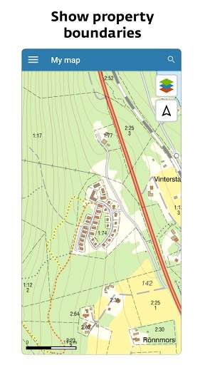
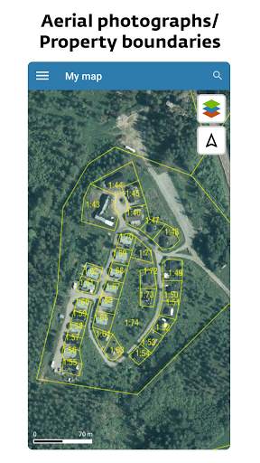
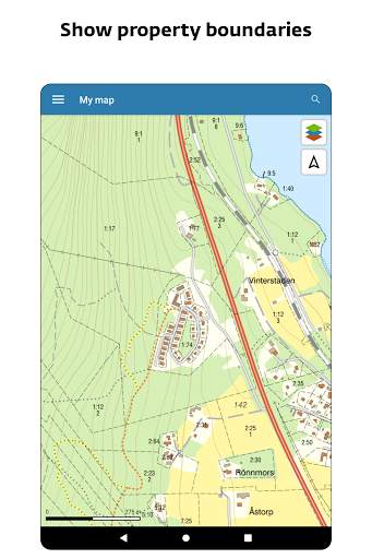
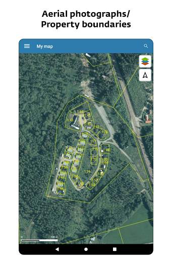
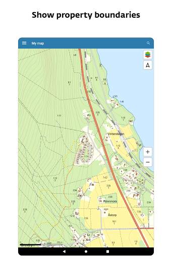
- A synoptic representation of property boundaries (Please note that the boundaries won’t be visible until you have zoomed in a couple of levels on the map)
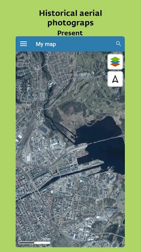
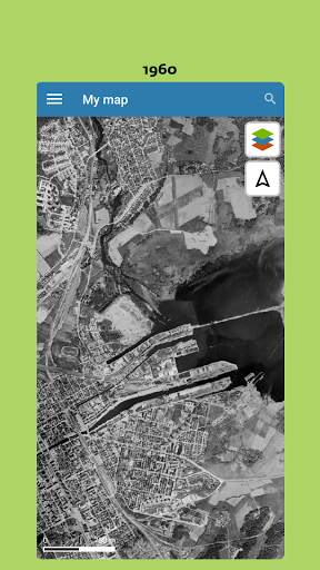
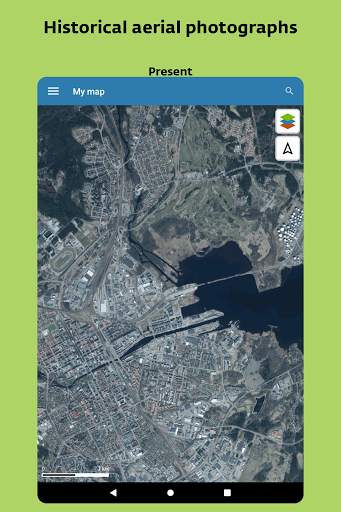
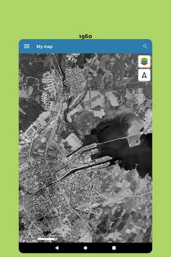
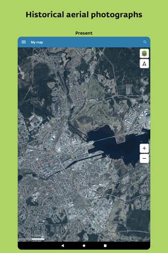
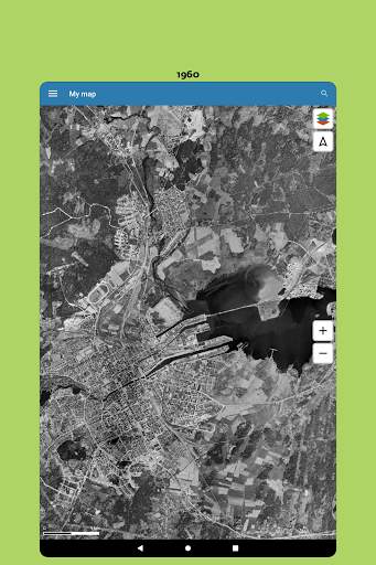
- Historic aerial photos from about 1960 or about 1975
- Mark your position on the map according to the GPS receiver of your device
- Search for a location by adress, property designation, place name or coordinates
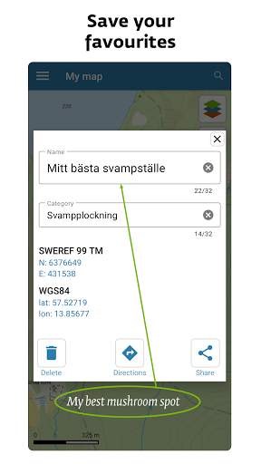
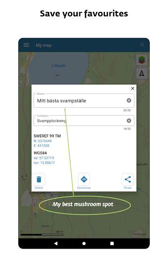
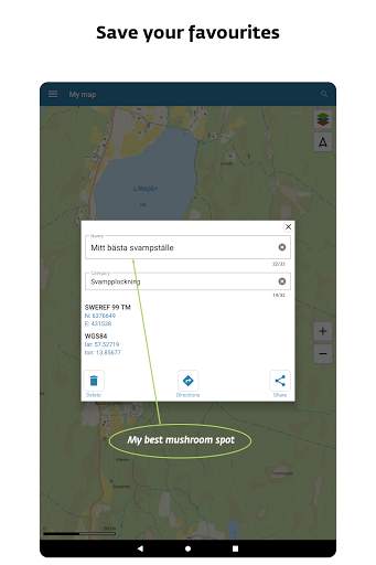
- Mark and name your favorite places on the map
- Share marked places and links with friends across the app or with https://minkarta.lantmateriet.se
- Measure marked distances and height curves
- Save areas to use in offline mode
Lantmäteriets topographic map for online use: this map presents topographic
Information such as toponyms, estates of different sorts, roads and railroad tracks, addresses, mountain information, height curves, etc.
Lantmäteriets orthophotos: Geometrically corrected aerial photos in color. The app displays the most recent photo of the highest resolution available of each site.




Added toned-downed map layer