MITA icon

MITA

2.1.17 for Android
4.5 | 5,000+ Installs | Reviews

Chimani, Inc.

⚠️ You need 9Apps App to install .XAPK File. How to install XAPK?

Description of MITA

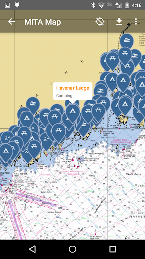
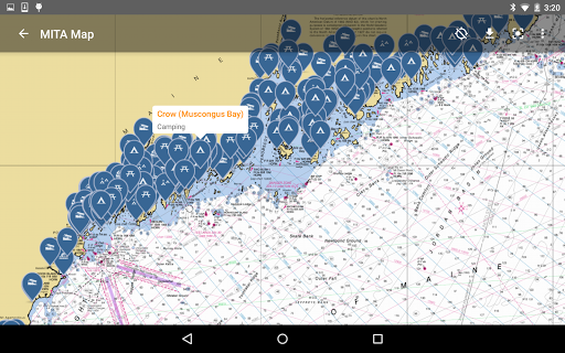
The Maine Island Trail is a water trail that connects over 200 islands and mainland sites along the Coast of Maine. The first recreational water trail in North America, the Maine Island Trail allows small boaters to explore and camp among thousands of islands in the most spectacular paddling/cruising grounds in the continental US.
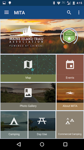
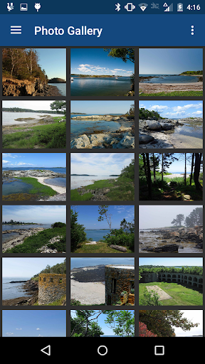
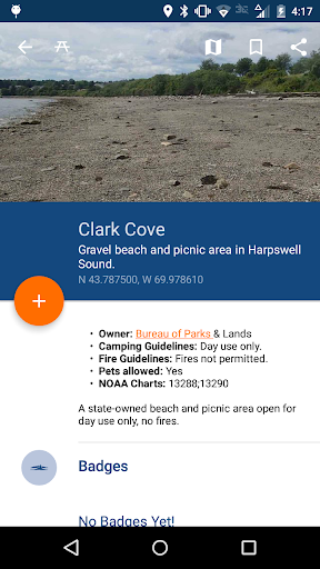
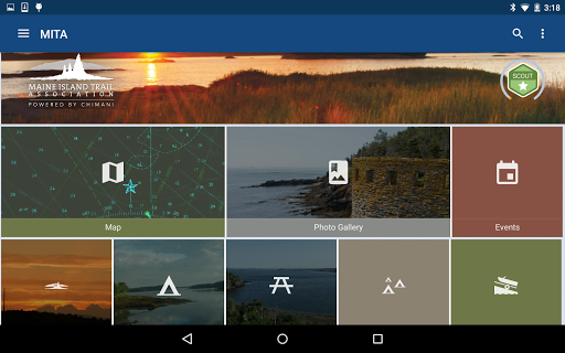
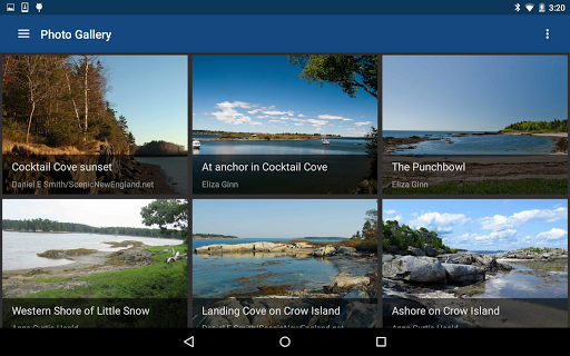
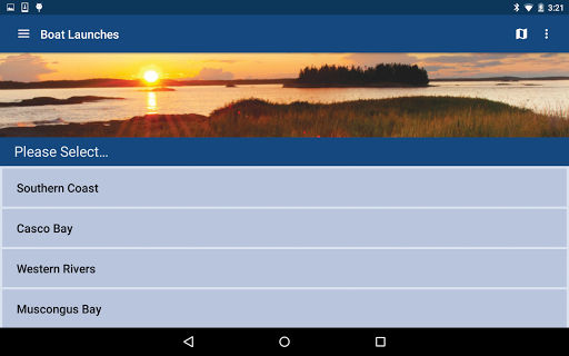
Partnering with Maine-based Chimani, the Maine Island Trail Association (MITA) has developed an app for its members and the public to explore the Trail virtually. This free app allows anyone to view some publicly-owned islands, learn about the Trail, see spectacular photos, pump-outs, tide charts, safety information, and launch sites, and to see MITA news and events. Membership with MITA is required to view privately-owned sites.

What's New with MITA 2.1.17

Fixed the "map jumping" issue, updated the database with current tidal data, and added the new MITA logos. Please email info@mita.org with your feedback and questions.

Information

  • Category:
    Travel & Local
  • Latest Version:
    2.1.17
  • Updated:
    2022-07-27
  • File size:
    10.4MB
  • Requirements:
    Android 4.1 or later
  • Developer:
    Chimani, Inc.
  • ID:
    com.chimani.mita2
  • Available on:
  • MITA
    MITA 2.1.16
    10.3MB
    2022-04-06
    XAPK
    Picture
  • MITA
    MITA 2.1.15
    20.0MB
    2021-04-15
    APK
    Picture
  • MITA
    MITA 2.1.14
    20.0MB
    2020-05-13
    APK
    Picture
Reviews
  • avatar
    The Maine coast has so much to offer and MITA is a terrific resource for all boaters exploring the area. I'm planning an August camping trip with my daughter and MITA has everything I'll need to make this a memorable trip.
    2020-05-01 12:10
  • avatar
    there is no tide data. app is clunky and unstable. huge data synchs kill your data allocation.
    2019-03-28 07:31
  • avatar
    Great app, although lacks some trip planning functionality and map functionality that would be useful (i.e. map scale for distance or measuring tool, trip planning distance estimates, and more knowledge about island popularity would be helpful in planning.)
    2019-03-27 08:50
  • avatar
    Perfect for what it does. Great job !! Don't try it on a phone. You need the larger screen of a tablet, anyway.
    2018-06-09 04:31
  • avatar
    Great little app. The only issues I have with it is that the tide tables only seem to go out three months, it lacks information on current flows around the islands, and I've yet to figure out how the trip-planning feature works. The maps, camping and launching sites information, and the gallery are extremely helpful.
    2018-06-04 09:02
  • avatar
    Would be 5 stars if the trip planner function allowed you to plan future trips and and if the app allowed for location input to drive to MITA listed boat launches. Thanks again for the great app!
    2017-09-06 03:17