LVM GEO - Maps for Recreation and Work icon

LVM GEO - Maps for Recreation and Work

3.0.4 for Android
4.7 | 100,000+ Installs | Reviews

AS LVM

⚠️ You need 9Apps App to install .XAPK File. How to install XAPK?

Description of LVM GEO - Maps for Recreation and Work

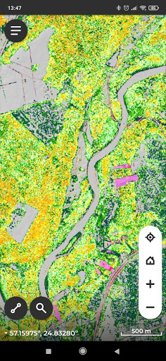
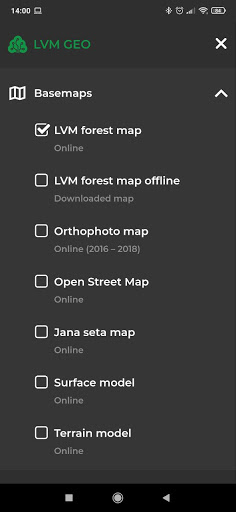
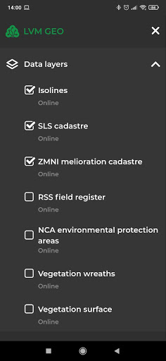
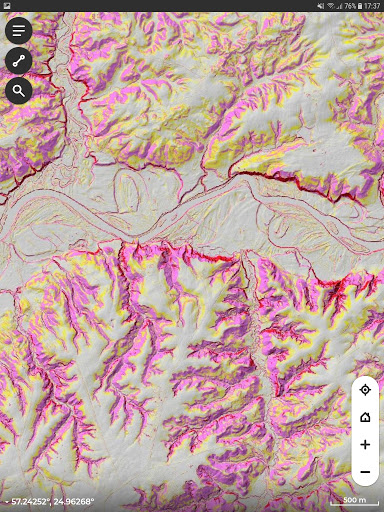
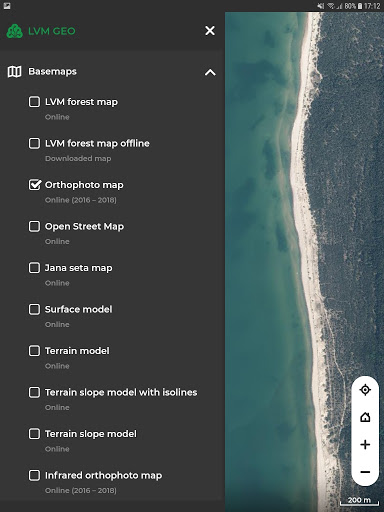
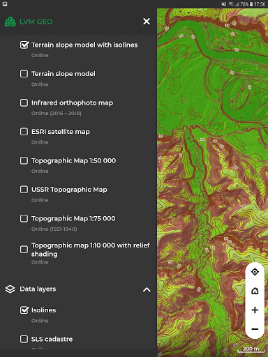
LVM GEO Mobile is a mapping app developed by JSC Latvia’s State Forests (LVM). The app provides variety of maps and geospatial information as well as rich functionality. LVM GEO Mobile enables LVM and our clients to communicate with their contractors by geospatial work orders. The app enables companies to access their geospatial business data with a specific authorization mechanism. This allows to view, edit and collect business data in the field and seamlessly synchronize with company’s databas

What's New with LVM GEO - Maps for Recreation and Work 3.0.4

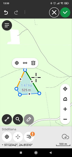
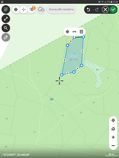
Improved vertex deletion functionality while measuring geometries
Last editor is being registered for each mobile edit
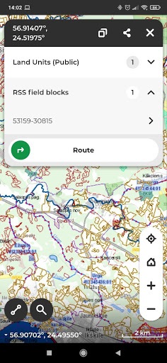
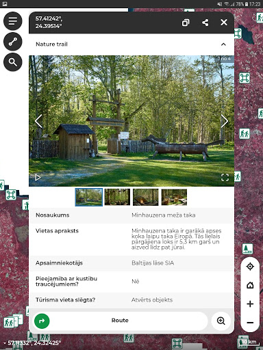
Hyperlink funkcionality enabled in the identify window
Fixed issue with data editing for objects in different statuses and services (transfer from one to another)
Various improvements and fixes in the work order module

Information

  • Category:
    Travel & Local
  • Latest Version:
    3.0.4
  • Updated:
    2021-07-20
  • File size:
    3.2MB
  • Requirements:
    Android 5.1 or later
  • Developer:
    AS LVM
  • ID:
    com.lvm.mobile.du
  • Available on:
  • LVM GEO - Maps for Recreation and Work
    LVM GEO - Maps for Recreation and Work 3.0.3
    3.2MB
    2021-06-14
    XAPK
    Picture
  • LVM GEO - Maps for Recreation and Work
    LVM GEO - Maps for Recreation and Work 3.0.2
    3.3MB
    2021-04-22
    XAPK
    Picture
  • LVM GEO - Maps for Recreation and Work
    LVM GEO - Maps for Recreation and Work 3.0.1
    3.6MB
    2021-04-12
    XAPK
    Picture
Reviews
  • avatar
    Laba karšu/slāņu izvēle. Derētu vienīgi uzlabot koordināšu ievadi. Neizskatās, ka šobrīd tiek atbalstīta koordināšu šērošana no/uz citām programmām un ērtāk būtu, ja varētu ielīmēt koordinātas vienā nevis 2/4/6 laukos (atkarīgs no koordināšu formāta). Alternatīva šobrīd ir importēt gpx/kml no failu sistēmas.
    2020-10-03 01:01
  • avatar
    lieliski
    2020-08-05 03:31
  • avatar
    Almost perfect.
    2020-06-16 07:45
  • avatar
    Izmantoju meliorācijas kadastru un zemes slīpuma modeli- gaidu kad būs pieejams visai Latvijai?! Un būtu labi ja visu vēl varētu dabūt bezsaistē. :)
    2020-02-15 07:48
  • avatar
    Ērti lietot, daudz vērtigu datu slāņu.
    2019-08-11 08:09
  • avatar
    Kartes aizņem 1.2 Gb un tas nevar pārnest uz SD card :-( Izdariet kaut ko ar šī problēmu
    2018-09-24 04:30