









DOWNLOAD IS NOT SUPPORTED IN WEB STORE!
Use the latest version of 9Apps to download APK&OBB file of games in one click!
DOWNLOAD 9APPS

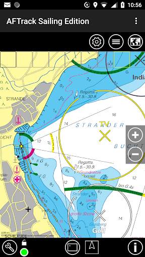
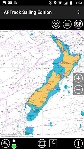
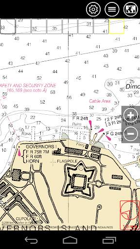
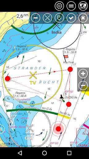
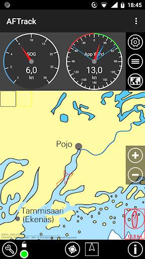
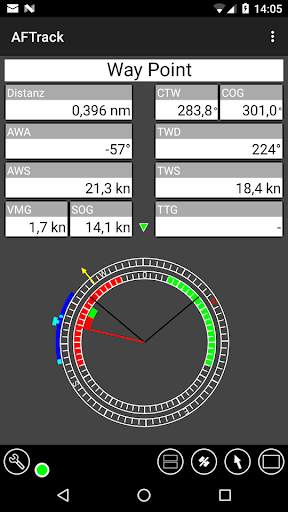
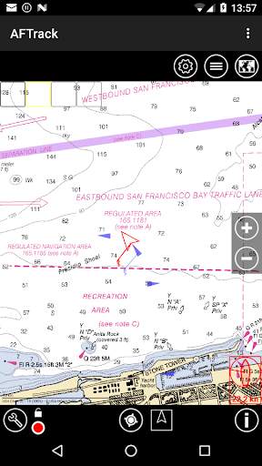
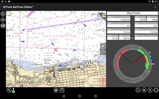
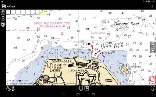
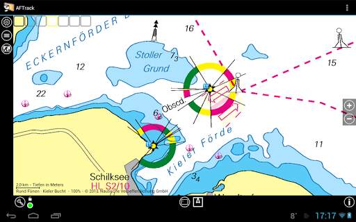
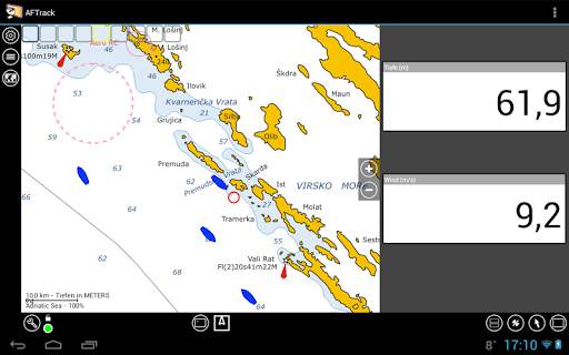
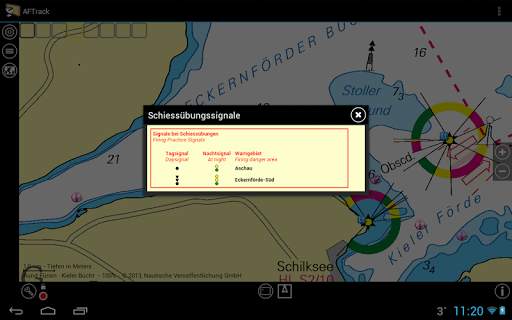
AFTrack is the marine navigation display for sailor. Uses tracking with various logging features, several input modes, maps online and offline, wind routing, AIS and more.
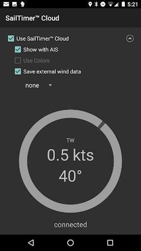
This version connects direct to the SailTimer API™ and needs no plugin.
The app is delivered without maps, only the online maps are active at first start. Download charts over the chart button and then download button.
Features
GPS and other input
- different gps sources: internal gps, internal with NMEA, bluetooth gps direct, USB gps, online gps over Wifi/4G, NMEA file
- read NMEA, GpsD json, Signal K json
- work as gps daemon (nmea or json, port 2947 only)
- mixed GPS mode external NMEA and internal GPS data
- share position (replaces standard gps provider)
- connection with AIS server (NMEA format, tcp, udp)
- altitude correction (automatic or manual) and Kalman filter
- pressure usable for altitude (if available)
- pressure start altitude editable
- automatic correction over weather server (needs net connection)
- wind data direct from SailTimer Wind Instrument™
- other wind data from SailTimer™ Wind Cloud (display as AIS or barbs)
Tracking
- collect track data to local database
- show routes or tracks in up/down hill colors
- export tracks to GPX, KML, OVL, IGC format and send or upload it
- import route data - GPX, TCX or KML format
- import, export way points - GPX or KML format
- import areas from KML format
- use a kml.txt format to send exports direct via bluetooth
- design a route or an area on the map
- design a route using BRouter offline data, with Inland waterway
- design a route using wind information and polar data
- edit a route or an area on the map
- merge some routes
- copy way points to route
- get new way point from bearing, map or position
- add predefined way point collection to map
- revers routes
- routing in a corridor
- off road routing along the line
Maps
- online maps - pool editable, tile or WMS based
- offline maps - OpenSeaMap downloader
- offline maps - mapsforge vector format - with extra xml layouts usable
- offline maps - BSB3 format for marine navigation
- offline maps - NV digital for marine navigation
- offline maps - Navionics Charts
- offline maps - OSZ format build by MobileAtlasCreator
- offline maps - SQLite formats mbtiles and sqlitedb build by MobileAtlasCreator and/or Maperitive
- offline maps - mph/mpr format
- use offline maps from jpg, png or bmp files
- use offline maps with calibration file map, gmi, kml, kal, cal, pwm, tfw or jpr format
- make own calibration for a bitmap
- seamless maps display when using OSZ or SQLite tile container
- map selector to have quick access to available offline maps
- map scan for a defined folder and sub folder
- map overlays - online pool editable
- map offline overlays - in mbtiles 'overlay' format
- scaling charts 2x/4x
View
- wind indicator for the map or position center
- display depth - if available
- display AIS information - if available
- display ADS-B (air plane) information - if available
- vario display
- vario sound
- alarm on reached POIs
- set anchor alarm for the current position
- save and restore settings
- send waypoint or anchor alarm to Android Wear
Please send remarks to afischer@dbserv.de
Enable Android 12