







DOWNLOAD IS NOT SUPPORTED IN WEB STORE!
Use the latest version of 9Apps to download APK&OBB file of games in one click!
DOWNLOAD 9APPS
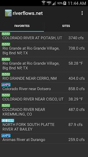
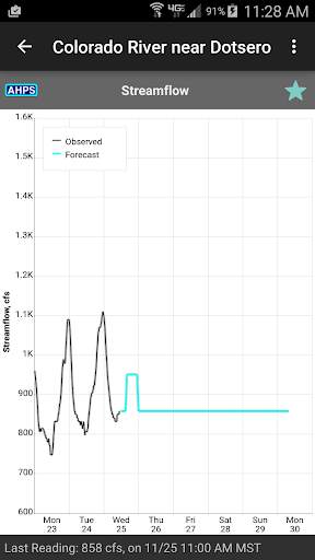
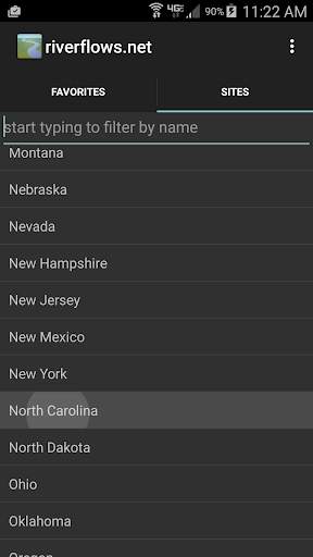
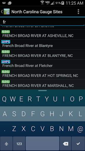
RiverFlows offers a quick and easy way to view data from river gage sites using an Android device. This is useful for fishing, kayaking, rafting, canoeing, or any other pursuit that requires tracking lake and river levels in the U.S.
Supported Data Sources:
USGS
NOAA
US Army Corps of Engineers
Colorado Department of Water Resources
California Data Exchange Center
The Riverflows app and widget are now open source!: https://github.com/robinmj/riverflows




This release restores connectivity with AHPS and CODWR gage sites, and also restores data compatibility with CDEC gage sites


