
A database of Ordnance Survey trigpoints.
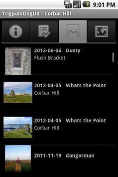
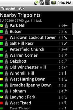
Allows users to find and navigate to a nearby trigpoint, and browse logs and photos.
In addition, registered TrigpointingUK users can upload logs and photos to the T:UK website.
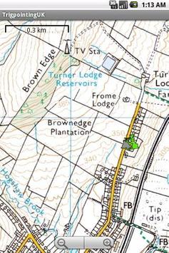
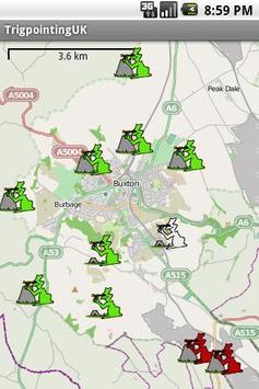
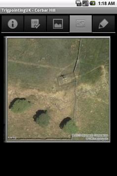
Trig points can be displayed on various OpenStreetMap maps of the UK, on Bing road maps and aerial photos, or on 1:50k and 1:25k OS maps.
Some flavors of OSM maps can be downloaded for the whole country at a time, to allow offline use.
Where possible, trigpoint data is stored locally for offline use, as many trigpoints are located in areas without good mobile broadband signals.
Problems can be discussed on the trigonomy mailing list, or reported here: http://code.google.com/p/trigpointinguk/issues/list
9Apps 4.9


