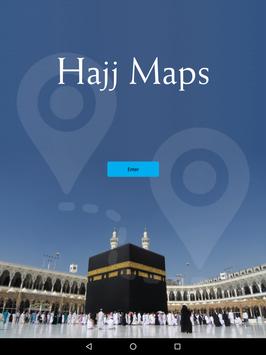

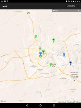
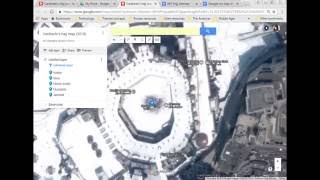
Hajj Maps is the best application in world that provides easy way to follow instructions for any Muslim intending to go to Mecca for the Hajj. By the help of it’s unique feature map through Geographical Information System (GIS), this application makes the pilgrim comfortably locate the different places of the Hajj Journey such as Arafah, Mina, Muzdilfah, etc. which are pretty much difficult to get understanding through maps. Furthermore, it has been tried our best to provide sufficient information for different days of Hajj within this application in accordance with the Qur'an and the Sunnah. Download this application to learn about the various steps of Hajj.
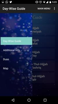
Features:
These are the main features of Hajj maps:
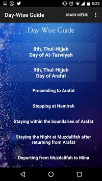
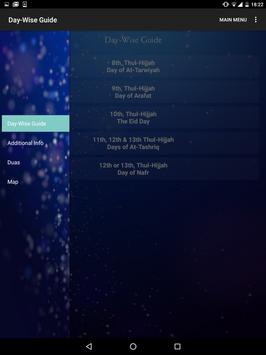
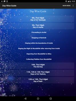
Day-Wise Guide
8th , Thul-Hijjah – Day of At-Tarwiyah
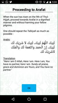
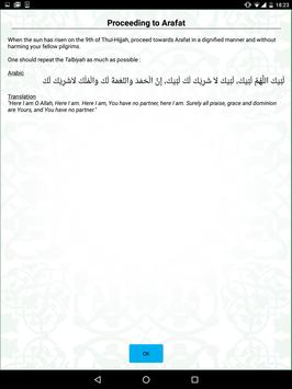
9th , Thul-Hijjah – Day of Arafat
10th , Thul-Hijjah – The Eid Day
11th, 12th & 13th , Thul-Hijjah – Days of At-Tashriq
12th or 13th , Thul-Hijjah – Days of Nafr
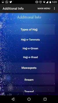
Additional Info
Types of Hajj
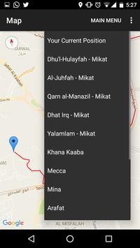
Mawaqeets
Ihraam
Tawaaf
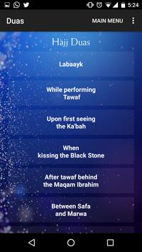
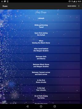
Duas
Labaayk
While Performing Tawaf
Upon first seeing the Ka’bah
When kissing the Black Stone
Between Safa and Marwa
Between Black Stone and Maqam Ibrahim
In the first three circuits
In the last four circuit
And many More ...
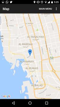
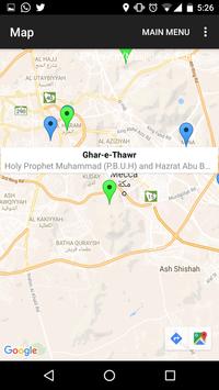
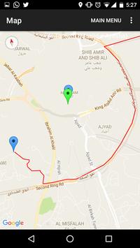
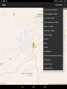
Maps
Supported by Geographical Information System (GIS)
* Some Bug Fixes *
* Push Notification Enabled
9Apps 4.9


![국세청 홈택스 [손택스] on 9Apps](https://sg-res.9appsdownloading.com/sg/res/jpg/f7/df/69cc2f90120ec331db2630e0f5b6-6dh.jpg?x-oss-process=style/jmq200)