









DOWNLOAD IS NOT SUPPORTED IN WEB STORE!
Use the latest version of 9Apps to download APK&OBB file of games in one click!
DOWNLOAD 9APPS
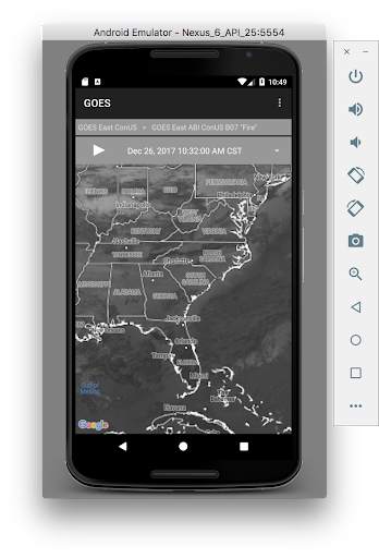
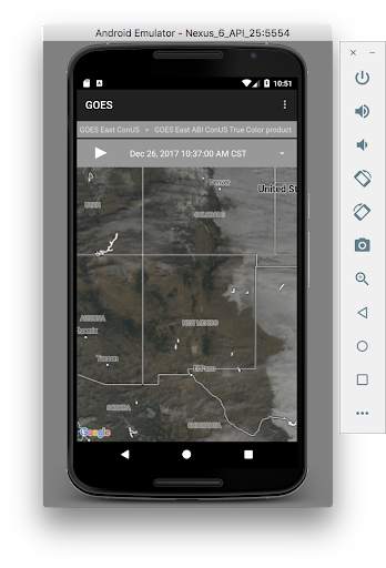
The SSEC - GOES App brings near real-time GOES (Geostationary Operational Environmental Satellite) imagery and related data from NOAA and academic researchers to the palm of your hand. The data products are hosted by the University of Wisconsin – Madison Space Science and Engineering Center (SSEC) with visualization powered by the SSEC RealEarth™ platform.
- Includes the latest available imagery (GOES-16)
- Select products to display by category, name, and time
- Pan and zoom map interface dynamically
- Display current location on map
- Adjust transparency and composite multiple layers
- Animate by relative or absolute time steps
- Save custom favorites




Comply with Android encrypted traffic only policy.


