Adama is an online/offline 3D off-road navigation software. Its main usage would be for hiking or 4x4 traveling. Conceptually, it is based on tangogps - an open source, unix, gtk based solution.
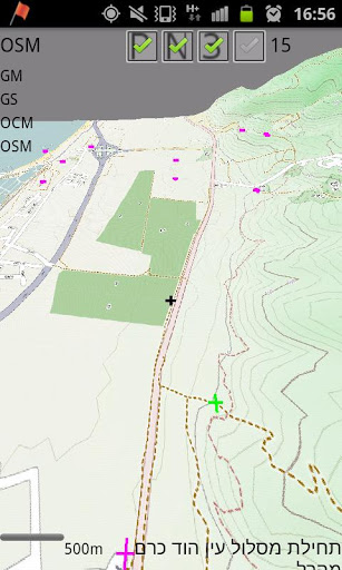
It uses public available maps such as openstreet, opencycle.
You may use other off line maps, given that they are managed as tiles, for more info visit http://wiki.openstreetmap.org/wiki/Slippy_map_tilenames
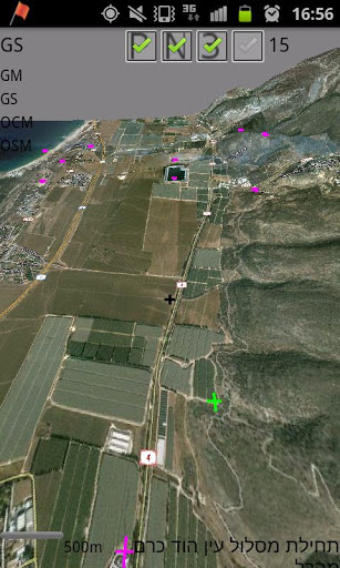
Adama can also read Orux xml maps and convert them to the tiles system, enabling orux's maps visualization in 3D!
Adama can also be used to share location information with others, yet this feature require network connection.
Have a nice trip!
This is an alpha version.
Fix issue in mapping of IH, add the option of overlaying maps.


9Apps 4.9


![국세청 홈택스 [손택스] on 9Apps](https://sg-res.9appsdownloading.com/sg/res/jpg/f7/df/69cc2f90120ec331db2630e0f5b6-6dh.jpg?x-oss-process=style/jmq200)