9Apps is the free store of application, 20,000+ users downloaded ON Roads latest version on 9Apps for free every week! Therefore, people are willing to accept this latest version. This hot app was released on 2019-12-25. Why not download and have a try?
Live traffic reports and cameras for Ontario including Toronto and Ottowa.
- Real time live data from The Ontario Ministry of Transportation:
- 362 traffic cameras covering Ontario.
- 191 traffic cameras covering Toronto.
- Reports of traffic incidents affecting travel (accidents, construction, maintenance etc)
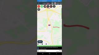
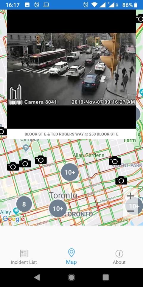
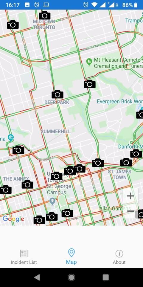
MAP VIEW
- Shows current incidents and traffic cams
- Each incident is color coded as well as being represented by an icon showing the incident type.
- Clicking on an incident displays more detail right there on the map.
- The map view can also show live traffic camera images.
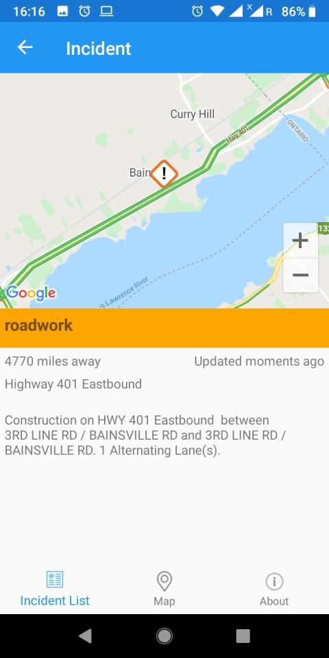
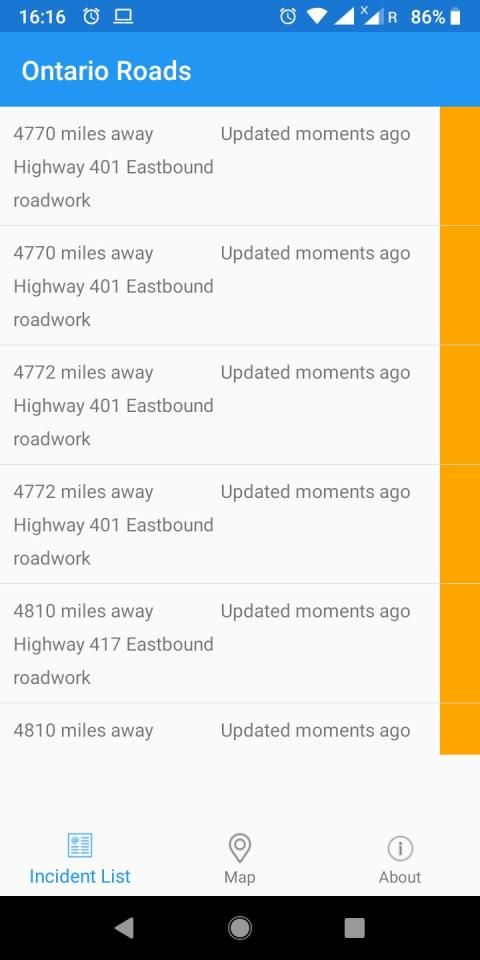
LIST VIEW
- Shows current incidents in order of distance from your current location (closest incidents are shown first).
- Each incident is color-coded to indicate the severity of the delay.
- You can quickly see the distance the incident is from you, the road name and the type of incident.
- The detail view shows the description together with a map showing the location.
CONTACT
- Email me for feature requests/bug reports etc. I would love to hear from you!
Data courtesy of The Ontario Ministry of Transportation.
Laporan lalu lintas langsung dan kamera untuk Ontario termasuk Toronto dan Ottowa.
- Data langsung waktu nyata dari Kementerian Transportasi Ontario:
- 362 kamera lalu lintas yang mencakup Ontario.
- 191 kamera lalu lintas yang mencakup Toronto.
- Laporan insiden lalu lintas yang memengaruhi perjalanan (kecelakaan, konstruksi, pemeliharaan, dll.)
TAMPILAN PETA
- Menunjukkan insiden saat ini dan kamera lalu lintas
- Setiap kejadian diberi kode warna serta diwakili oleh ikon yang menunjukkan jenis kejadian.
- Mengklik suatu insiden menampilkan lebih detail di sana di peta.
- Tampilan peta juga dapat menampilkan gambar kamera lalu lintas langsung.
LIHAT DAFTAR
- Menunjukkan insiden saat ini dalam jarak dari lokasi Anda saat ini (insiden terdekat ditunjukkan pertama kali).
- Setiap insiden diberi kode warna untuk menunjukkan beratnya keterlambatan.
- Anda dapat dengan cepat melihat jarak insiden itu dari Anda, nama jalan dan jenis insiden.
- Tampilan detail menunjukkan deskripsi bersama dengan peta yang menunjukkan lokasi.
KONTAK
- Kirimi saya email untuk permintaan fitur / laporan bug dll. Saya ingin sekali mendengar dari Anda!
Sumber data dari Kementerian Transportasi Ontario.
Fix crashing


9Apps 4.9