











डाउनलोड वेब स्टोर में समर्थित नहीं है!
एक क्लिक में एपीके एंड ओबीबी फाइलें डाउनलोड करने के लिए 9Apps के नवीनतम संस्करण का प्रयोग करें
DOWNLOAD 9APPS

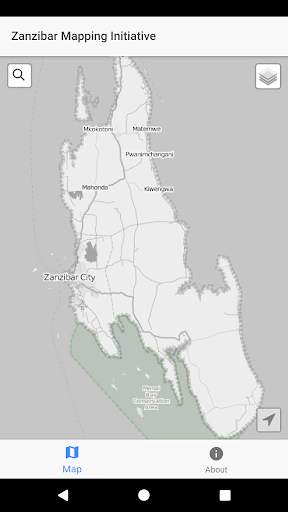
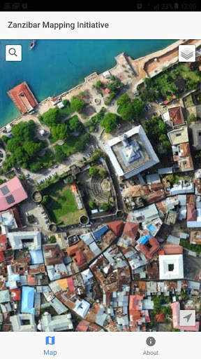
The Zanzibar Mapping Initiative (ZMI) is a project of the Zanzibar Commission for Lands (COLA) and is the first in the world to use small drones, (under 1kg), for mapping on such a large scale. COLA together with its partners – including the Revolutionary Government of Zanzibar, the Tanzania Commission for Science and Technology (COSTECH), the State University of Zanzibar (SUZA) and the World Bank – are implementing this project to update the base map of Zanzibar, an exercise that was last conducted using conventional methods in 2004.
Initial Version


