









डाउनलोड वेब स्टोर में समर्थित नहीं है!
एक क्लिक में एपीके एंड ओबीबी फाइलें डाउनलोड करने के लिए 9Apps के नवीनतम संस्करण का प्रयोग करें
DOWNLOAD 9APPS
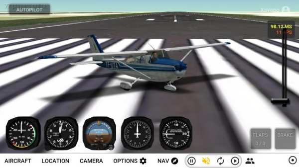
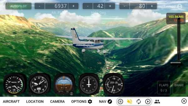
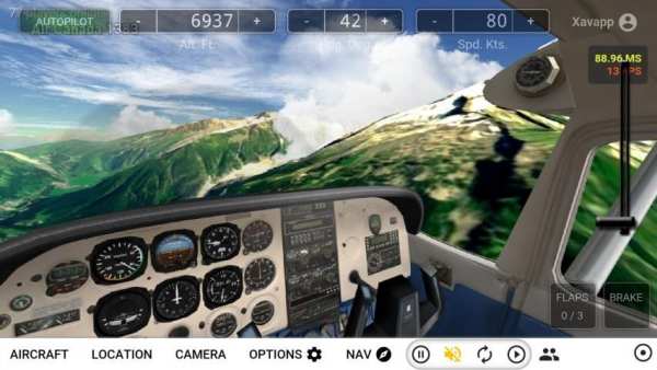
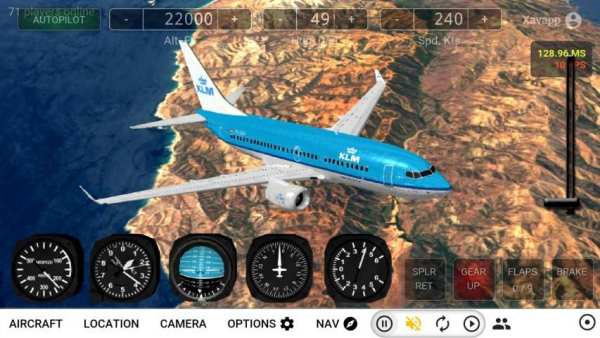
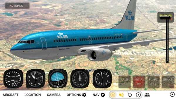
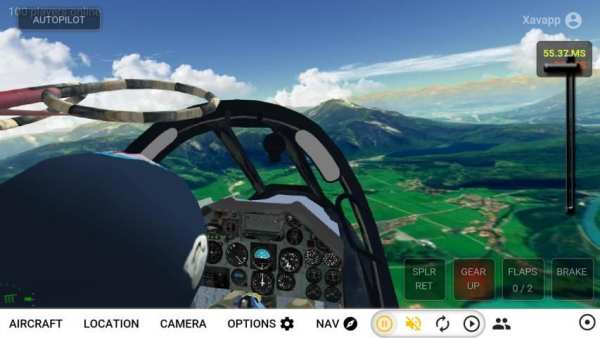
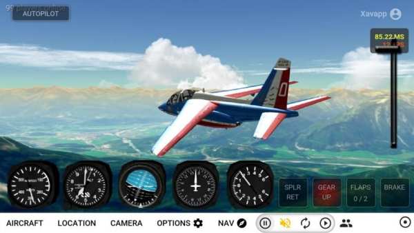
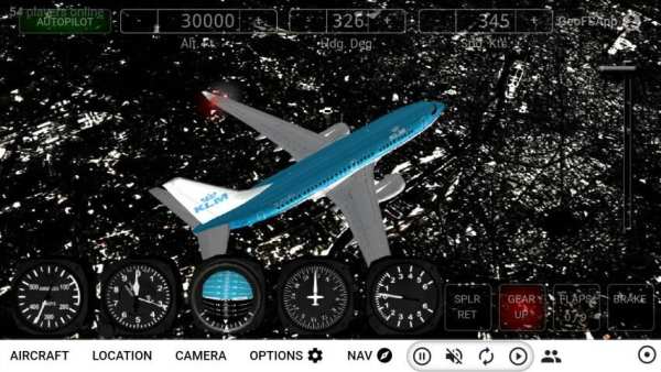
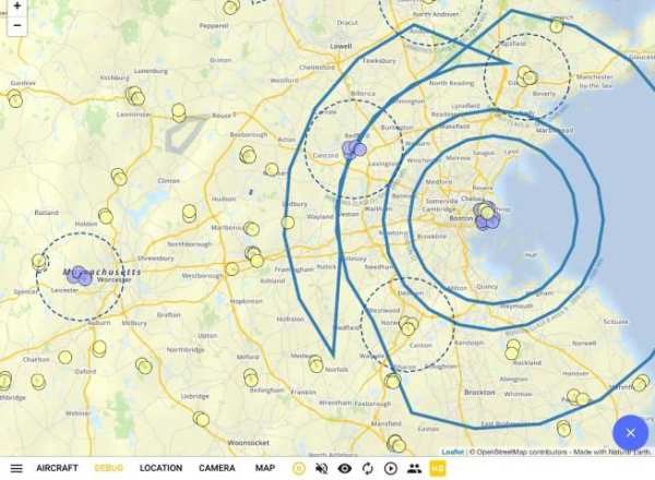
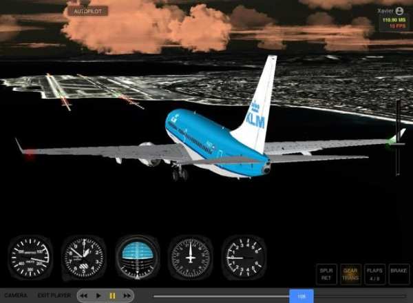
GeoFS is a flight simulator with scenery built from satellite images.
This free "light" version includes 3 fully functional aircraft and a flyable area covering the french island of Corsica (20000 km² | 8000 square miles). All the data is included in the app so no internet connection in necessary: fly offline!
This app includes:
- Corsica at 10m resolution satellite images
- Realistic physics and flight models
- Navigation map with referenced runways and airspace visualization
- 3 aircraft with instrumented cockpits
- Replay mode
- Configurable weather conditions (wind, clouds, fog, precipitations)
- Night time with runway lights
Included aircraft:
- Cessna 172
- Alphajet PAF
- Boeing 737-700
For the full version including multiplayer, 11 different aircraft, global flyable area and HD images on purchase, please download the GeoFS app at https://play.google.com/store/apps/details?id=com.geofs.sd
जियोएफएस एक उड़ान सिम्युलेटर है जिसमें उपग्रह चित्रों से निर्मित दृश्य हैं।
इस नि: शुल्क "प्रकाश" संस्करण में 3 पूर्ण रूप से कार्यात्मक विमान और एक उड़ने योग्य क्षेत्र शामिल है जो कोर्सिका के फ्रेंच द्वीप को कवर करता है (20000 वर्ग किमी | 8000 वर्ग मील)। सभी डेटा ऐप में शामिल हैं इसलिए आवश्यक कोई इंटरनेट कनेक्शन नहीं है: ऑफ़लाइन उड़ान भरें!
इस एप्लिकेशन में शामिल हैं:
- 10 मीटर रिज़ॉल्यूशन के सैटेलाइट इमेज में कोर्सिका
- यथार्थवादी भौतिकी और उड़ान मॉडल
- संदर्भित रनवे और हवाई क्षेत्र दृश्य के साथ नेविगेशन नक्शा
- इंस्ट्रूमेंटेड कॉकपिट के साथ 3 विमान
- रिप्ले मोड
- मौसम की अनुकूल स्थिति (हवा, बादल, कोहरा, वेग)
- रनवे लाइट के साथ रात का समय
शामिल विमान:
- सेसना 172
- अल्फाबेट PAF
- बोइंग 737-700
मल्टीप्लेयर, 11 विभिन्न विमानों, वैश्विक उड़ने योग्य क्षेत्र और खरीद पर एचडी छवियों सहित पूर्ण संस्करण के लिए, कृपया https://play.google.com/store/apps/details?id=com.geofs.sd पर जियोएफएस ऐप डाउनलोड करें

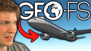


A free, self contained, light version of GeoFS to fly offline on the 20,000 m2 island of Corsica.
Three aircraft available: Cessna 172, Alphajet PAF and Boeing 737-700


